
Fire Weather Index
[Code Red Format]
|
Calculation of the six standard
components of the FWI System, performed once daily at noon PST, results in an estimate of
fire potential for the current afternoon period. FWI severity ratings above 5 indicate an increasing difficulty of fire suppression.
Click here for more info.
FIRE BEHAVIOUR: Fire Weather Index .. LOW (1) Initial Spread .......... LOW (1) Build Up Index ........ MODERATE (22) FUELS MOISTURE: Fine Fuel Moisture .. LOW (61) Duff Moisture ......... LOW (12) Drought ................ EXTREME (371) FIRE INTENSITY SELECTED VEGETATIONS: Grasslands ... LOW (0 kW) Scrublands ... MODERATE (299 kW) Forests ........ MODERATE (23 kW) |


Chandler Burn Index
|
Chandler Burn Index is based on the current temperature and humidity (click image for more info).
BURN INDEX RISK: LOW ... Fuels do not ignite readily from small firebrands although a more intense heat source, such as lightning, may start fires in duff or punky wood. Fires in open cured grasslands may burn freely a few hours after rain, but woods fires spread slowly by creeping or smoldering, and burn in irregular fingers. There is little danger of spotting. Image shows current CBI Fire Danger, Current Temp & Humidity & CBI numerical rating. |
Santa Ana Watch
SANTA ANA WILDFIRE THREAT INDEXForest Fire Index
McArthur Forest Fire Index| Relative Humidity Alert: < 15% | Winds Alert: Northeast - East >25mpg | |

|

|
|
Regional Fire Risk Assessment | |
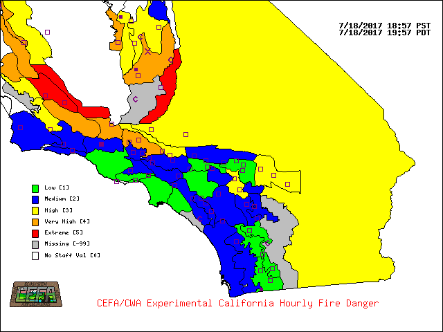
|

|
National Fire Risk Assessment. | |

|

|
Drought/Rain
| Element | Value | Description |
|---|---|---|
| Keetch-Byram Drought Index | 375 | Typical of late spring, early growing season. Lower litter and duff layers are drying and beginning to contribute to fire intensity. |
| Fire Weather Index Drought Code | 371 | Extreme Drought Conditions |
| ----- | ----- | ---- |
| Rain Today | 0.00 | |
| Rain Month | 0.00 | |
| Rain Year | 5.44 | From July 1 |
| Days No Rain | 0 | Days |
| Record No Rain | 124 | Days (Station records 2004 to Present) |
| Last Rain | 01/01/2015 |